FORECAST HEADLINES:
- Minus a southeast breeze at times, it’ll be quiet and warm for Thursday night fireworks plans
- Hot and dry again Friday
- Isolated showers, a storm possible Saturday afternoon/evening
- Beryl re-emerges in the Gulf this weekend. When it does, we’ll gain more clarity on the forecast
- Regardless of Beryl’s path, dangerous surf will exist along Texas beaches this weekend
- Confidence in rain chances locally is increasing for next week, will vary based on Beryl’s path
FIREWORKS FORECAST:
After another hot afternoon, Thursday night fireworks plans will consist of temperatures gradually falling into the 80s under mostly clear skies. A southeast breeze will be present at times with a few wind gusts upwards of 20 to 25 mph.
FRIDAY:
Another hot and dry day is in store Friday with highs nearing 100°, feeling a few degrees hotter thanks to the humidity. A few morning clouds will transition to mostly sunny skies in the afternoon with winds out of the southeast at 5 to 10 mph.
THIS WEEKEND / LATEST ON BERYL:
A few isolated showers and storms will be possible by Saturday afternoon and evening as a weak front moves into Central Texas. Slightly better chances look to be found across the Hill Country during this timeframe, with coverage at about 20%-30%.

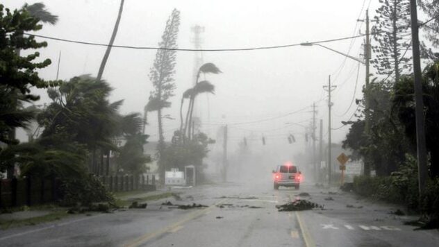
Just an isolated (20%) chance of a shower is in the forecast Sunday as we monitor Beryl moving through the Western Gulf of Mexico by that time. While we still need to wait and see what state Beryl is in after it crosses over the Yucatan Peninsula, the latest forecast from the National Hurricane Center suggests that the storm could briefly re-strengthen into a Category 1 hurricane before making landfall near the Deep South Texas/Northern Mexico border Monday morning.
There is still *some* uncertainty as to where exactly Beryl will track, and we won’t have a clearer picture until Beryl crosses the Yucatan, but confidence is increasing that times of scattered rain return to the forecast locally as early as Monday and into Tuesday. Still not set in stone and there’s room for the forecast to change, so keep checking back for more updates.
Note that if the forecast were to trend farther north and closer to San Antonio, times of gusty winds and a larger rainfall gradient from one side of our are to the other would be possible. If Beryl trends to the northwest (along the Rio Grande), more widespread rain would push through our area locally. A track farther south and west would mean drier conditions for South Central Texas.

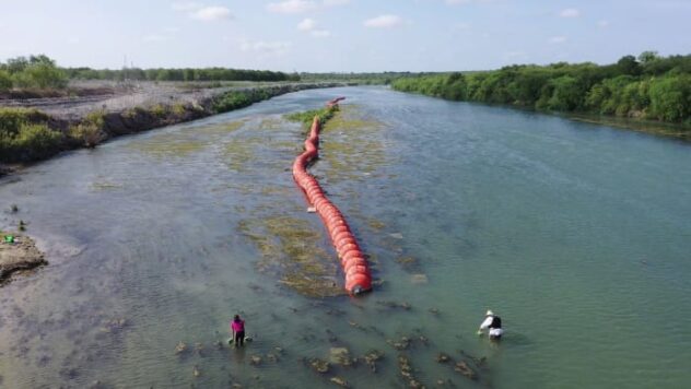
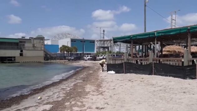
REGARDLESS on where Beryl makes landfall, high surf, rip currents, and some coastal flooding will be possible along the Texas coast, especially by Sunday. Please be aware of this if traveling down that way this weekend!
We’ll continue to send out updates as we finetune the details over the next few days. Until then — be safe out there tonight! 🎆 ~ Mia