WHAT YOU NEED TO KNOW:
- – Friday: Beryl hits Yucatan Peninsula (likely Category 2)
- – Saturday: Beryl in Gulf of Mexico as Tropical Storm
- – Sunday: Beryl likely to strengthen back into hurricane
- – Monday: Beryl makes landfall in Northern Mexico OR South Texas
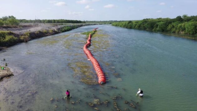
- – Regardless of where landfall occurs, Texas Coast will experience rain, high surf, rip currents, and some coastal flooding Saturday night through Monday
Rain chances increasing for San Antonio next week but not only because of Beryl.
Sunny and near 100° over the next few days, and no issues for fireworks tomorrow night.
Isolated showers are likely to develop Saturday and Sunday, with the best chances in the Hill Country and northward.
Rain chances are looking more promising Monday and the rest of the week because of Beryl and especially the pattern that develops afterward.
The exact path of Beryl will dictate rain chances around San Antonio on Monday, and odds are looking better but not a slam dunk yet.
More than anything, the pattern we’re expecting after Beryl is favorable to make rain, so we’re gaining confidence in several rain opportunities all week.
Essentially, a blocking pattern is likely to develop after Beryl next week, and this pattern would trap deep tropical moisture over much of Texas for several days. That combined with adequate lift/rainmaking energy could provide
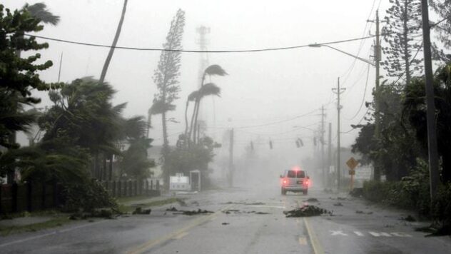
Hurricane Beryl roars by Jamaica after killing at least 6 people in the southeast Caribbean


Fourth of July Forecast:
4th of July celebrations will be hot with a high near 100°. Firework displays won’t see any interruptions by rainfall or clouds, but it will be breezy.